ROVEBELL

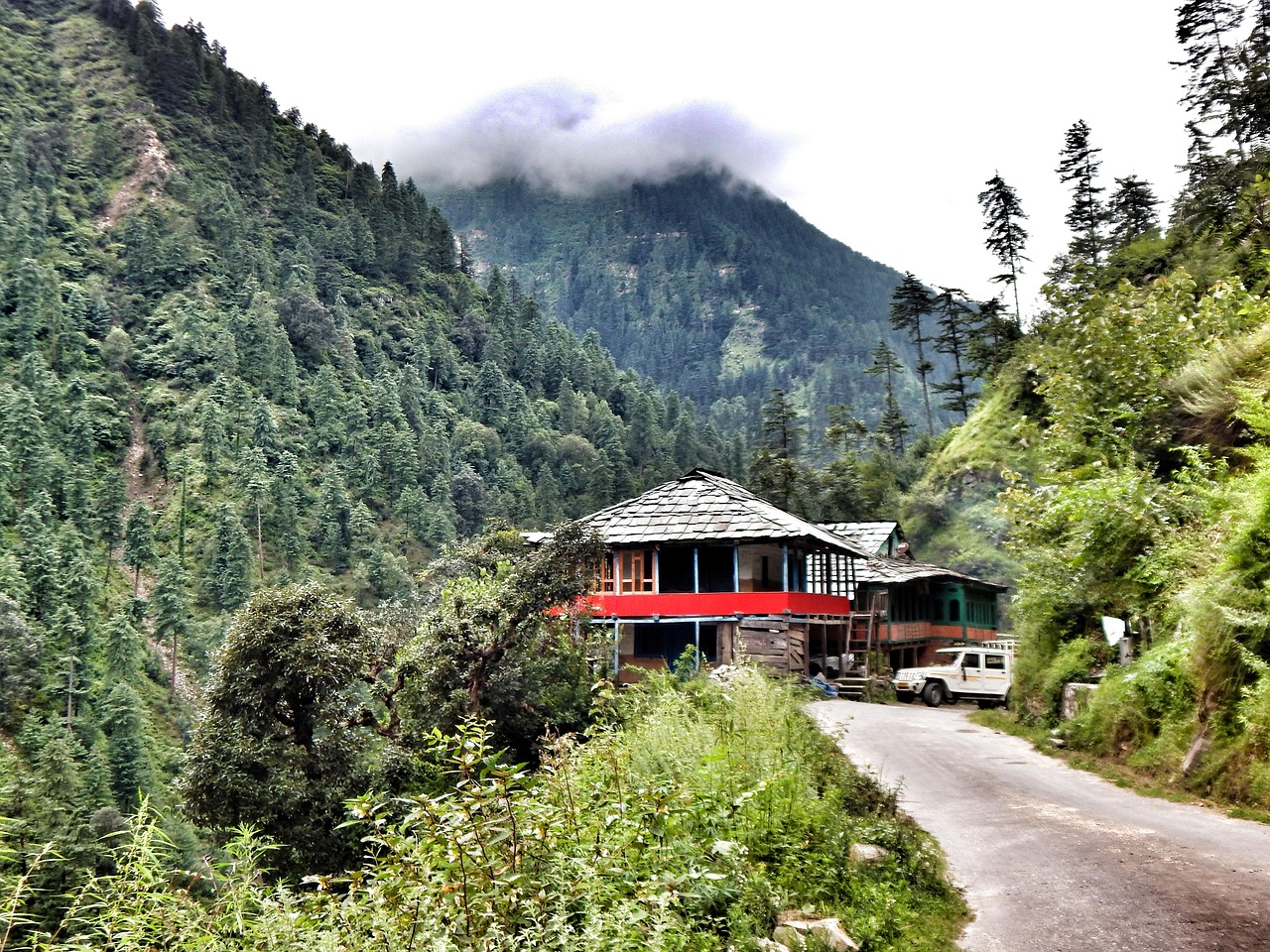
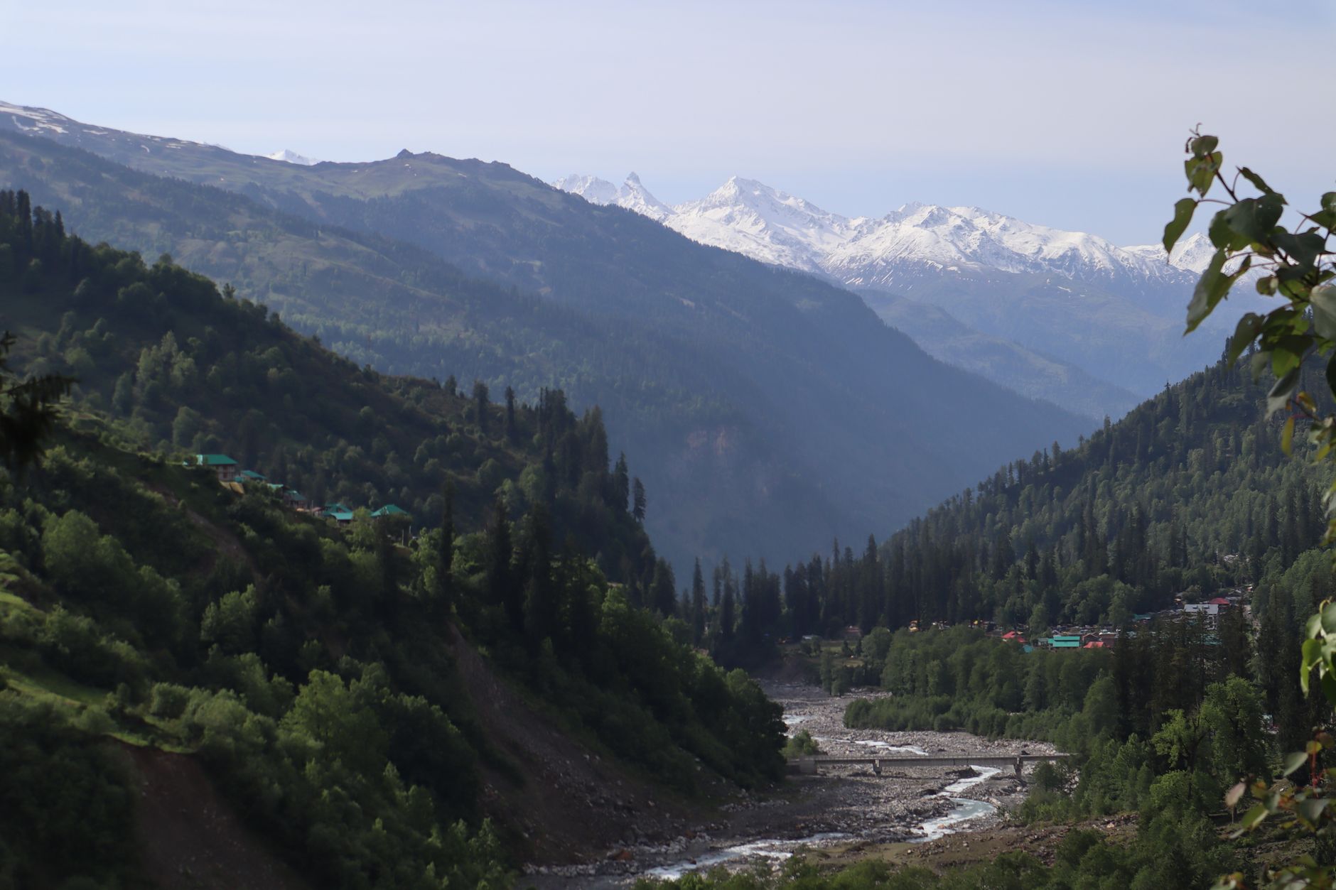
Meadow base for the Tungnath temple and the Chandrashila summit trek.
- Best time
- Apr – Jun, Sep – Nov
- Ideal duration
- 2 days
- Budget from
- ₹1,800/day
- Places in guide
- 7
How to reach
About 200 km by road from Rishikesh.
Things to do
- Tungnath temple trekTrek · 4 hrs · Best in the morningSteep 3.5 km path to one of the highest Shiva temples; the temple closes in winter.
- Chandrashila summitTrek · 2 hr 30 min · Best in the morningContinue past Tungnath for sunrise views of the Himalayan range.
- Deoriatal lakeTrek · 3 hrs · Best in the morningShort trek from Sari village to a lake reflecting Chaukhamba.
- Sari villageSight · 1 hr · Best in the afternoonBase village for the Deoriatal trek.
- Rhododendron forestsNature · 1 hr 30 min · Best in the afternoonForest walks; the rhododendrons bloom in spring.
- Ukhimath Omkareshwar TempleTemple & spiritual · 1 hr · Best in the afternoonWinter seat of the Kedarnath and Madhyamaheshwar deities.
- Kanchula Korak Musk Deer SanctuaryNature · 1 hr · Best in the morningRoadside sanctuary between Chopta and Gopeshwar.
Where to stay
- Peaches and Pears B&BGuest house · 14 km from Chandrashila summit
- Indiahikes Sari CampusCampsite · next to Sari village
- Hotel MadhugangaHotel · 1.1 km from Ukhimath Omkareshwar Temple
- Sayana LodgeHotel · 14.1 km from Chandrashila summit
- homeaway camps and cafeCampsite · 1.4 km from Chandrashila summit
- HILL VIEW HOTELHotel · 12.4 km from Chandrashila summit
What to eat
Maggi at the trailheadGarhwali thaliMandua roti
Places to eat
- Camp PeaceTripsCafé · 1.4 km from Chandrashila summit
- Cafe nirvanaCafé · next to Sari village
- PADIYAR HOTELIndian · 12.6 km from Chandrashila summit
- ZILA PANCHAYAT CANTEENIndian · 12.6 km from Chandrashila summit
- Green ViewRestaurant · 1.4 km from Chandrashila summit
- Panaar BugyalRestaurant · 12.1 km from Chandrashila summit
Stays and places to eat © OpenStreetMap contributors. Tap a name for prices, reviews and menus on Google Maps.
Travel tips
- Acclimatize before strenuous hikes at altitude.
- Mountain roads can close with snow or landslides; keep a buffer day.
- Mobile coverage can be patchy; download offline maps.